
Tualatin Neighbor Sources by Block
Public records around a block answer different questions. A tax-lot map shows the geometry and identifiers of nearby parcels. The County’s owner-information channel can answer a tax-purpose ownership question for a specified parcel. Recording copies can document a transfer. City permit and land-use files can connect an address to a project. None of those sources is a directory of households, renters, guests, utility customers, or every person registered at an address.
| Block source | What it shows around an address | Access and limit |
|---|---|---|
| Washington County Intermap | Nearby tax lots, parcel geometry, and selected property identifiers | Manual map selection; tax boundaries are not a field survey. |
| Cartography owner-information route | Tax-purpose ownership information for one specified parcel | County lobby computer, direct phone, or e-mail channel; not an occupancy list. |
| Washington County Recording | Separate title evidence for each parcel | Copy, index, and microfilm routes; use Clackamas Recording for east-side parcels. |
| City eTRAKiT and City records | Address or project evidence near the block | Permit and land-use research, then a City request if needed; not a neighbor roster. |
| Voter or civic source | Lawfully available voter-file information or public civic context | My Vote is self-service; membership and private contacts are not public rolls. |
The first check is geography. Tualatin lies mainly in Washington County, but the City identifies SW 65th Avenue by Meridian Park Hospital as the Washington-Clackamas divide. An address east of that line may need Clackamas County CMap, Assessment, and Recording resources even when its postal city is Tualatin.
Map a Tualatin Block Parcel by Parcel
The defensible Tualatin neighbor method is manual and narrow. Research did not confirm an official public Intermap radius, buffer, or adjacent-parcels button. Start at the known address, visually identify touching or nearby tax lots, and then verify each candidate separately. This prevents a map label, a business owner, a trust, or a common area from being mistaken for a household.
- Confirm whether the address belongs in Washington or Clackamas County. A Tualatin mailing address alone is not enough.
- Search the address in Intermap on the Washington side, or CMap on the Clackamas side, and record the parcel or tax-lot identifier.
- Manually select the immediately adjoining tax lots. Preserve each displayed situs address, parcel clue, map context, and date rather than copying names from a visual cluster.
- For each parcel, use the County’s stated ownership channel and obtain a recorded document only when a title question needs confirmation.
- Label trusts, estates, companies, public bodies, and common areas by the role the record shows. Do not infer a private household from the label.
The flow is address → county → tax lot → separate owner-information path → recording copy if needed. For a full named-street trail rather than the immediate block, use the Tualatin streets directory.
Tualatin Neighbors Across Two Counties
The county divide is a real Tualatin research quirk. The City’s public report places Washington County west of SW 65th Avenue and Clackamas County east of it near Meridian Park Hospital. East CIO also describes the same split. A neighbor search that stops at a Washington County map can therefore miss the correct tax lot or recording custodian for an east-side address.
Clackamas CMap accepts an address, parcel number, tax lot, or intersection. It returns property characteristics, value, jurisdiction, voting and service districts, hazards, surveys, and tax-map documents, but withholds owner names online. Its property-tax contact route, rather than CMap alone, handles an ownership question. Washington County’s Intermap has a different search structure and its own Cartography assistance channel.
That contrast is useful because it prevents a false match. Keep the county attached to every parcel note, even when the street and postal city remain the same.
Note: A postal city does not decide the correct custodian, so retain the county with the tax-lot identifier for every nearby parcel.
Tualatin CIO Context, Not Member Lists
Tualatin’s Community Involvement Organization program adds civic context to a block. The City’s interactive address map identifies the applicable CIO. The City recognizes six residential CIOs, Byrom, East, Ibach, Martinazzi Woods, Midwest, and Riverpark, plus one commercial CIO. They are helpful for meeting, notice, developer, and neighborhood context. Their participation information is not a public resident directory.
City CIO program
City address-to-CIO information identifies the civic area connected to an address and explains the program.
East CIO
East CIO’s public description identifies Washington County west of SW 65th Avenue and Clackamas County east of it.
Washington CPO 5
Washington County’s CPO list marks Sherwood and Tualatin CPO 5 as not active, with no current leadership or meetings.
The inactive CPO 5 finding matters. Do not expect a Tualatin CPO contact or member directory. City calendar references to Martinazzi Woods, Midwest, or Riverpark community events demonstrate local civic activity, not a right to a roster of households.
Tualatin Neighbors and Voter Records
Oregon My Vote is a voter’s own registration service, not a tool for browsing Tualatin neighbors. The separate voter-list request process is governed by the Secretary of State and the county elections offices. A lawfully requested file can contain specified public fields, but confidentiality exemptions prevent any claim that a block list is complete. Voting history records participation, not ballot selections.
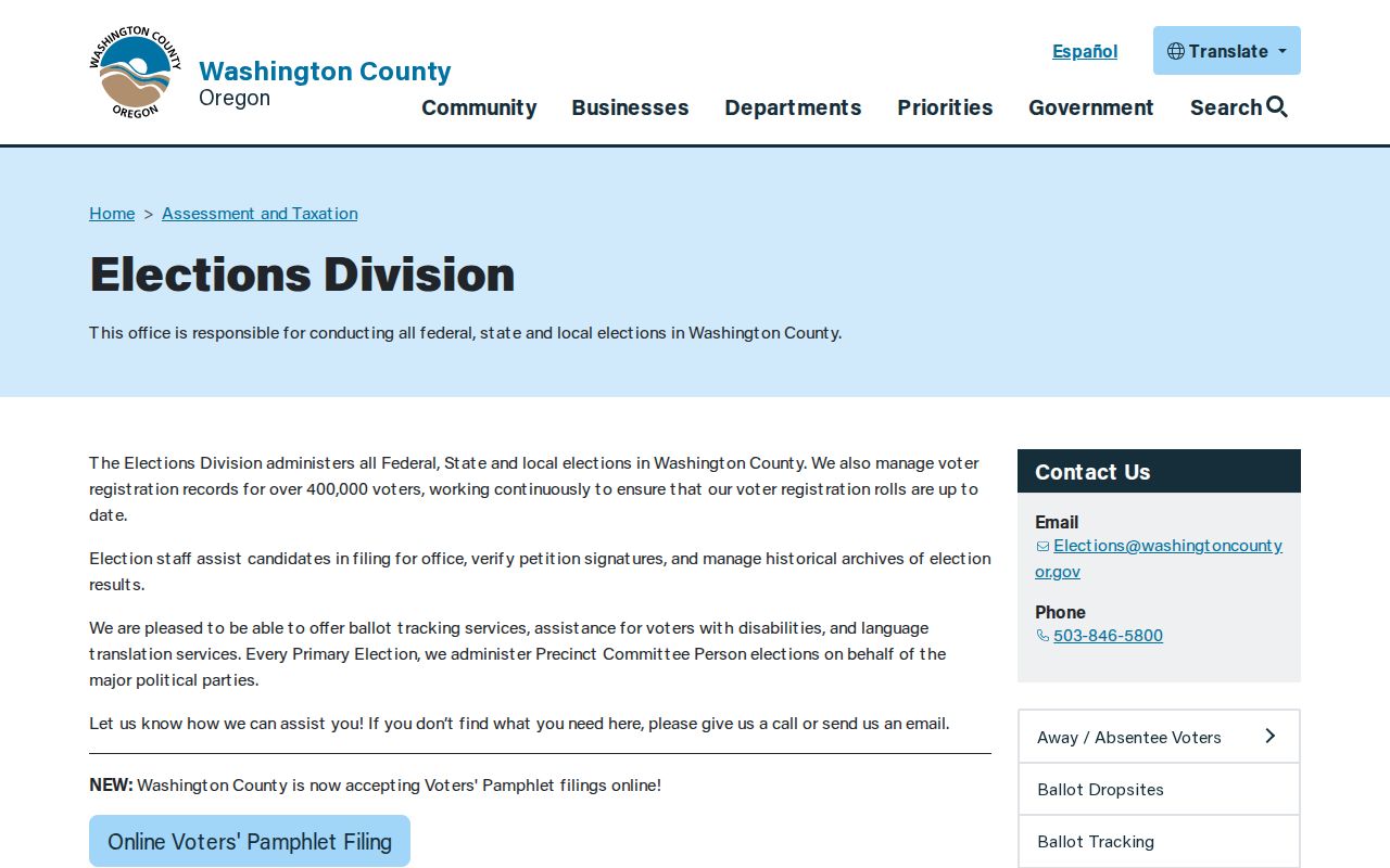
Washington County Elections is one official local route for voter-file and precinct questions on the Washington side.
Washington County’s data-request form documents request and delivery fields, district or precinct choices, election and party options, and a noncommercial-use certification. Its 2017 fee information requires current confirmation, so it should not be assumed for a new order.
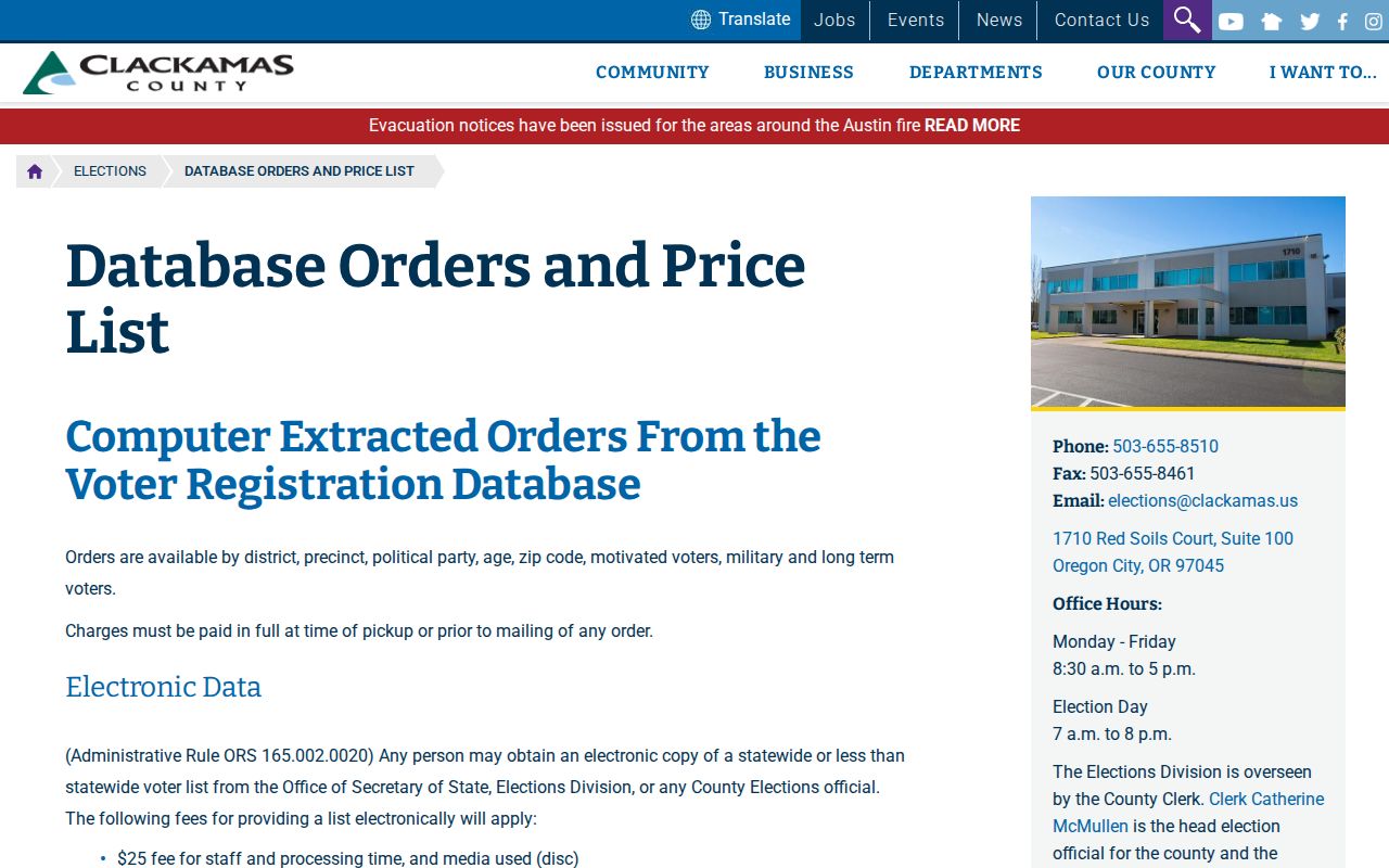
For east-side Tualatin, Clackamas County’s voter-list pricing page describes electronic-list filters including district, precinct, party, age, ZIP, motivated voters, military, and long-term voters. The source says phone numbers are unavailable.
The two county routes are official administrative channels, not a local neighbor-browsing feature. Use the current county instructions, comply with the access conditions, and account for address exemptions.
Tualatin Neighbor Evidence Compared
Official sources create a more limited but more accountable block trail than commercial neighbor tools. A map identifies parcel relationships. A custodian can provide the permitted property or recording information for a specific parcel. A commercial category may combine records of uneven dates and unclear source rules, then present it as a person-level result. Neither route establishes every occupant at an address.
| Research path | Useful evidence | Boundary to keep |
|---|---|---|
| Official parcel and recording route | Tax-lot, legal-description, and title-role evidence linked to a named custodian | Owner or party status is not household occupancy. |
| Official City or CIO context | Address-linked project, notice, zoning, or civic-area information | Contacts and meetings do not establish membership or residence. |
| Commercial compiled category | Potentially mixed public and nonpublic data of varying vintage | Not a government custodian; verify any claim at the original office. |
This comparison is why a small parcel-by-parcel log is more useful than a long name list. Record the source URL or office, date viewed, county, tax lot, party role, and document number. It makes a later correction or custodian follow-up possible.
Note: A title role proves only what the identified record says, so verify any later conclusion through the named custodian.
Tualatin Block Permit Records
City eTRAKiT contributes an address and project layer to Tualatin neighbor research. The City describes it as a 24/7 tool for permits, land-use applications, plans, inspections, project status, fees, and historical record research. Its public property route uses Search By, Search Operator, and Search Value fields and can lead to parcel, land-use, building, legal-description, or inspection areas. A permit applicant or contractor should be described only as a project party.
Washington County’s Accela Citizen Access provides a separate planning and permit-history route with address, parcel number, record number, record type, project name, date, and location fields. It can identify a file number for Building, Current Planning, Enforcement, Environmental Health, or Operations records. Ask the correct permitting custodian for an available copy instead of treating a result as proof of a person’s residence.
Tualatin Neighbor Lookup Privacy Boundaries
Private household details stay private even when a parcel is visible on a map. Non-owner occupants, household members, utility and delivery data, protected voters, and Address Confidentiality Program participants do not form an open block roster. Oregon voters can seek a residence-address exemption through SEL 550, and qualifying election workers and household members have ORS 247.965 protection. Oregon Public Records Law opens nonexempt records, but safety and privacy exemptions still apply.
Lawful use. Tualatin neighbor research is for personal, lawful property, civic, family-history, and safety questions. Do not use a map, record, or contact to stalk, harass, threaten, harm, or bypass an address protection.
For a City-held record that is not online, submit a focused public-records request to the Deputy City Recorder with the address, date range, department, project or permit number, and preferred delivery. Washington County Cartography and Recording offer separate offline channels, and Clackamas-side candidates require the corresponding county source. A map boundary remains a tax-research tool, not a legal survey determination.
Note: Keep a record-specific question and stop when the available source does not support a conclusion about a household or a protected person.