
Tualatin ZIP Code Directory Coverage
The conservative record is clearer than a broad list of nearby ZIPs. City pages repeatedly use 97062 for City Hall, the library, Heritage material, and other City facilities. It is the only core postal ZIP confirmed in the reviewed official sources. A City project page also shows a Lake Oswego postal address using 97035 near the county divide. That does not establish 97035 as a citywide Tualatin ZIP or prove that every nearby delivery point belongs to the City.
The Tualatin ZIP code directory therefore distinguishes confirmed postal evidence from surrounding possibilities. USPS verifies delivery service for one address. County GIS and parcel records determine jurisdiction, tax lot, and legal property context.
| ZIP | Areas evidenced | Post office or routing | Records note |
|---|---|---|---|
| 97062 | City Hall, Tualatin Public Library, Heritage and City project materials | Tualatin’s primary postal ZIP in reviewed City sources | Confirm an individual delivery point with USPS |
| 97035 | A City project reference at Southlake Center near SW 65th Avenue | Lake Oswego postal city in that City material | Boundary example only, not evidence for all Tualatin addresses |
| 97224, 97140, and others | No authoritative source confirmed city-limit parcels using them | Do not infer from a nearby mailing city | Verify the address before calling it Tualatin-serving |
Note: ZIP codes are postal routes, not a substitute for City limits, county boundaries, neighborhood names, or legal descriptions.
Verify a Tualatin ZIP Code
Use USPS ZIP Code Lookup with a complete delivery address. It can confirm the delivery ZIP and ZIP+4 for that address, but it does not settle whether the parcel is inside a city boundary or which county keeps the deed and tax records. Preserve the normalized address returned by USPS, then compare it with the parcel’s situs address and tax-lot record.
- Enter the full street address in USPS Lookup and record the delivery ZIP or ZIP+4.
- Check the parcel county before choosing a property, recording, court, or elections office.
- Use the county map with the situs address, account number, or tax-lot key.
- Keep the legal description and recorded-document details with the postal result when researching an older property trail.
- Recheck the address if an annexation, old place name, or mailing address conflicts with the parcel record.
The official Tualatin Post Office location page provides the verified postal anchor pictured here.
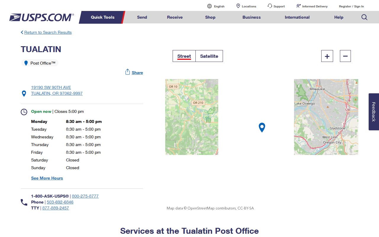
The post-office source confirms a local postal location and 97062 anchor. It is not an official polygon for municipal or county boundaries.
Tualatin ZIP Code 97035 Edge
SW 65th Avenue near Meridian Park Hospital is the City-published Washington and Clackamas County divide. The City’s project material also identifies Southlake Center at 16869 SW 65th Avenue, Lake Oswego OR 97035. Together, those facts show why a nearby ZIP or postal city is not enough to select a records custodian. An address can be close to Tualatin and still need the Clackamas-side property or recording route.
Start with the delivery address, then map the parcel. West of the divide, Washington County is generally the first system for most Tualatin parcels. East of it, Clackamas County equivalents may control the parcel, recording event, court, tax, or elections question. A postal line cannot replace that county check.
Note: The official source confirms a 97035 boundary example, not a complete list of Tualatin addresses using that ZIP.
Tualatin ZIP Code Portal Limits
No inspected public source documents an official Tualatin ZIP directory filter in the systems most relevant to resident or parcel research. Washington County Intermap documents situs address, account number, and tax-lot ID searches. Tualatin eTRAKiT describes permit, land-use, and historical-data research without listing ZIP as a filter. Oregon My Vote is an individual registration service, not a ZIP browse tool. A less-than-statewide voter-list request is a separate official process, but the reviewed state page does not expose a city or ZIP filter interface.
| USPS ZIP Code Lookup | ZIP verification for a specific address, not jurisdiction. |
|---|---|
| Washington County Intermap | Situs address, account number, or tax-lot ID; no ZIP mode documented. |
| Tualatin eTRAKiT | Address, permit, and land-use research; no ZIP mode documented. |
| Oregon My Vote | Individual registration service; no ZIP browse documented. |
| State voter-list request | Separate list-request route, with no public ZIP filter documented in the capture. |
The honest sequence is ZIP and address, USPS confirmation, county GIS or tax-lot search, then the responsible City or County records system. Once a ZIP narrows the locality, the Tualatin Streets directory provides the address-level parcel route.
Oregon’s official voter tools show the same distinction. My Vote lets an individual check and update their own registration, ballot status, office information, and drop-site details. A public electronic voter list uses a separate request process. The state page gives a statewide or less-than-statewide scope, while hard-copy or label requests go to the county elections official. Neither published route should be described as a ZIP-based public resident browser, and address exemptions can also remove qualifying records from general visibility.
Tualatin ZIP Code County Check
Washington County’s map and tax resources are not the only option. The City’s east-side area needs Clackamas County geographic tools. Clackamas County GIS is the official starting point for map resources when the parcel lies east of the divide. Its role is to establish parcel and jurisdiction context, not to turn a postal ZIP into a list of people.
The Clackamas GIS starting page is the source shown below for the eastern Tualatin record route.
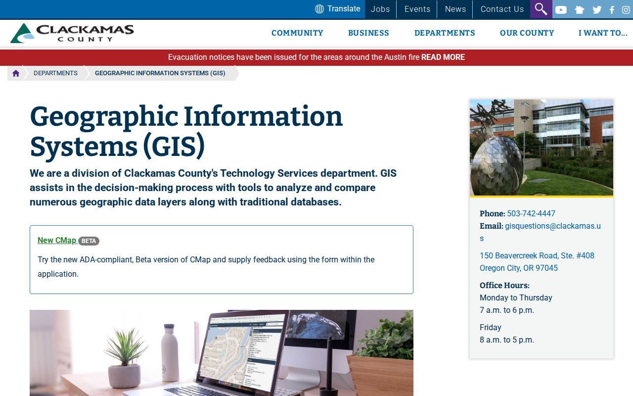
Use the county result with the City’s county-divide information. That comparison prevents a ZIP match from sending a parcel search to the wrong recorder or assessor.
Tualatin ZIP Code on CMap
Clackamas CMap provides a specific east-side property route. It accepts an address, parcel number, tax lot, or intersection and can return property characteristics, values, jurisdiction, voting and service districts, hazards, surveys, and tax-map information. The source explicitly says owner names are not provided online. That boundary matters because a property record can support a parcel trail without identifying every resident.
| Address | Use a complete street address to locate an east-side parcel. |
|---|---|
| Parcel number | Use the county parcel identifier when already known. |
| Tax lot | Use the tax-lot reference to connect map and recorded-property work. |
| Intersection | Use for geographic orientation where a full address is not available. |
| Owner information | Not provided online according to the CMap source. |
The CMap search page illustrates the official field choices used for the Clackamas-side check.
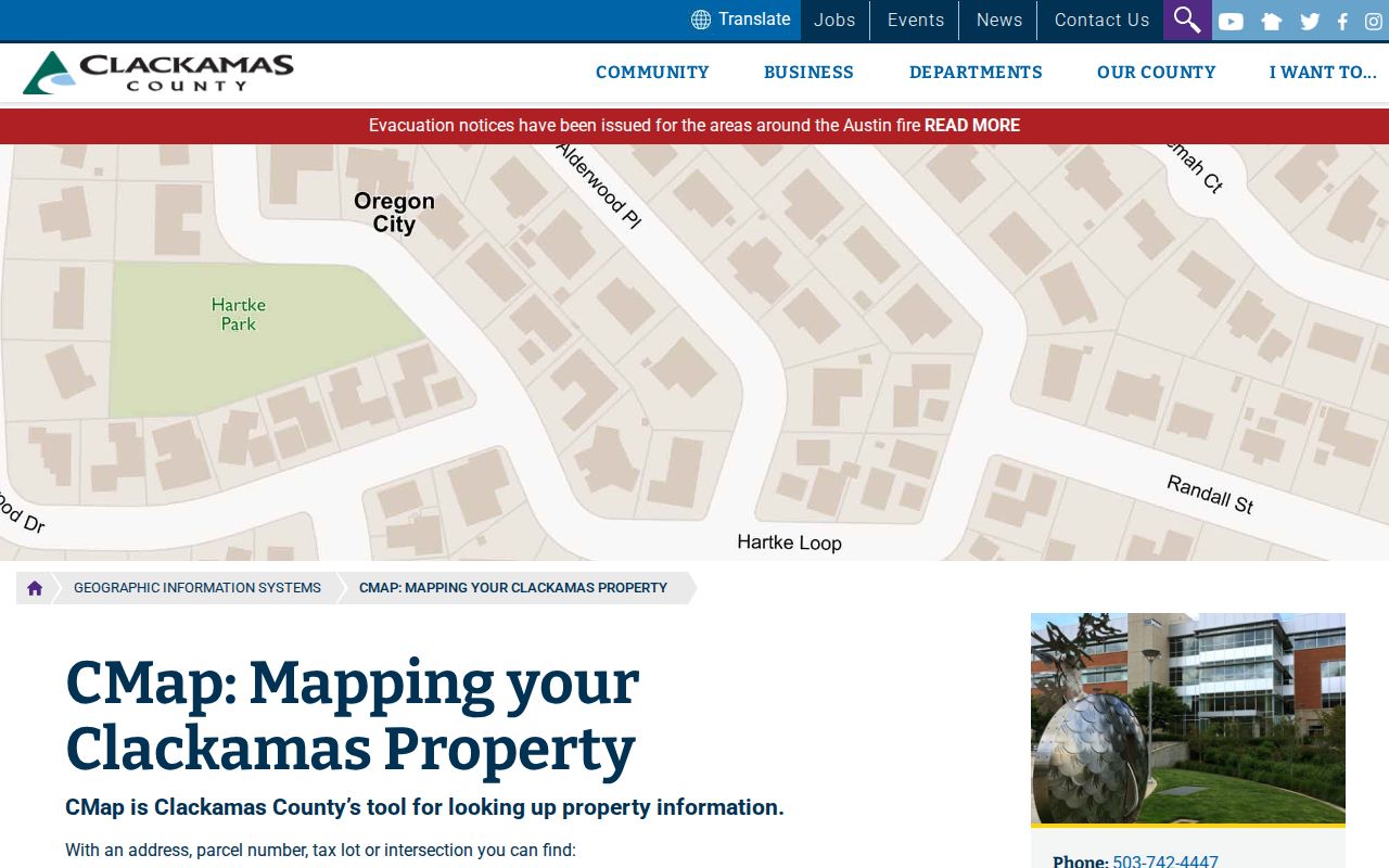
CMap is the geographic follow-up after delivery verification. It does not supply an official ZIP roster or a universal owner-name search.
Tualatin ZIP Code Address Fields
Postal and property records use different address fields for different purposes. A mismatch does not necessarily signal an error. Washington County Intermap uses a situs address, account number, or tax-lot ID to locate a parcel. Recorded instruments rely heavily on the legal description, lot, block, plat, or similar property language. A tax mailing address can be a correspondence address and may not be where an owner lives.
- ZIP code
- A postal delivery designation. ZIP+4 narrows delivery sorting, but neither field establishes jurisdiction.
- Situs address
- The physical location of a parcel used in county property research.
- Tax-lot or account identifier
- A county property key that connects an address to the parcel record.
- Legal description
- The lot, block, plat, or other recorded property description that can outlast a changed postal address.
- Mailing address
- An address for correspondence that can differ from the situs address.
The parcel identifiers are the better bridge for an older deed, annexation, or county-boundary question. The postal result should be retained as delivery evidence, not used as the sole address identity.
Washington County also distinguishes property-tax information from a survey-grade boundary. A mapped line or account entry is useful for research, but it is not a ground survey. If a legal boundary, title question, or address discrepancy is material, retain the tax-lot and recorded-document references and obtain the appropriate custodian record rather than relying on a ZIP or map label alone.
Tualatin ZIP Code Annexation Context
City boundaries are also time-sensitive. Tualatin’s documented annexation history includes Pacific Highway and Grahams Ferry Road items in 2013, Boones Ferry Road and Greenhill Lane in 2020, and a 2022 Norwood Road item. In April 2025, the City approved the Tonquin Commerce Center annexation of 54.79 acres from unincorporated Washington County, including rights-of-way and tax parcels. A record search should note the date of the event as well as the present mailing address.
The Tonquin Commerce Center annexation record is a current example of why City status and parcel context can change while a postal label remains familiar. The City did not provide a verified ZIP realignment year or a complete municipal ZIP-boundary file, so exact ZIP geography should remain address-specific.
This is also why the 97062 confirmation should remain modest. It anchors core City facilities in the primary Tualatin postal ZIP, but it does not define every delivery route serving land near, inside, or associated with the City. The research found no official support for expanding the list by inference. A complete address and the current county parcel result are required for a defensible records search.
Note: Use Planning, the City Recorder, county map services, and USPS for the separate questions of city status, parcel location, and delivery ZIP.