
Tualatin Previous Residents Sources
One address requires more than one source. The most reliable starting evidence is the parcel, its legal description, and the current recorded transfer. From there, historical deeds can move an owner chain backward, while probate, census, municipal permit files, library referrals, and local collections may help distinguish a household. The research does not verify a Tualatin city-directory or criss-cross-directory run, so those sources belong in the workflow only after the library confirms an actual holding.
The era map separates what each route can establish. A deed records a property transaction, not a full list of occupants. A census records a household at a date, not a chain of title. Using both kinds of evidence avoids treating a former owner as every person who lived at the address.
| Source | Years it covers | Where held | What it shows |
|---|---|---|---|
| Washington County deed indexes | 1847 to 1977; direct and indirect indexes 1850 to 1977 | Recording Division and State Archives routes | Grantor, grantee, date, legal description, consideration, and book or page |
| Documented deed-book microfilm | 1850 to about 1964 | Recording office area and contracted offsite storage | Text or image of recorded title instruments, subject to copy access |
| County probate sources | 1842 onward; Archives files through 1929 listed | Archives, court historical indexes, and files | Estate, executor, administrator, inventory, and heir clues |
| Federal census | Public through 1950 | National Archives and established research access | Household and residence snapshot for the census date |
| City permit and land-use research | Exact online years not stated | Tualatin eTRAKiT and City request route | Project timing and parties recorded in the relevant file |
Note: A confirmed owner, permit applicant, or mailing address is property evidence and may not identify every past household.
Tualatin Previous Residents Parcel Start
First determine the county. Tualatin is primarily in Washington County, but the City identifies SW 65th Avenue by Meridian Park Hospital as the Washington and Clackamas divide. A parcel east of that line may require Clackamas recording and GIS tools. Do not choose a custodian only from the words “Tualatin, OR” on a mailing address.
For most Washington County parcels, use Intermap with a situs address, account number, or tax-lot ID. Select the map location and open Additional Information, then Assessment & Taxation Information. Preserve the situs address, account or tax-lot key, map clues, and legal description. The County describes this as property, sales and deed, assessed-value, and improvement information. It does not promise an open owner-name search.
For owner-information help, Washington County directs users to Suite 130 computers, 503-846-8741, or e-mail. On the Clackamas side, use the official GIS and recording routes. The parcel key is the bridge between an older street label, a recorded instrument, an annexation, and a modern mailing address.
Tualatin Previous Residents Deed Chain
Start with the current recorded transfer from Washington County Recording, then use its grantor, grantee, recording date, book or page, and legal description to seek the earlier conveyance. The current grantor commonly appears as a grantee on an earlier acquisition. Compare the legal description, lot, block, plat, or other property language at each step. A street address alone can change or be reused.
- Confirm the parcel county and collect the current situs address, tax-lot or account key, and legal description.
- Request or inspect the current recorded transfer through the Recording copy channel.
- Search the seller as a grantee to locate an earlier acquisition of the same legal description.
- Repeat the comparison backward, preserving dates, book or page, and each name’s grantor or grantee role.
- Move to the documented microfilm and archive channels when the current county page does not supply the needed historic access.
- Grantor
- The person or entity conveying an interest in property.
- Grantee
- The person or entity receiving that interest.
- Chain of title
- The sequence of recorded transfers connected by the same property description.
- Legal description
- The recorded property language, such as lot, block, plat, or another formal description, used to identify the land.
Washington County Recording’s public page is the source shown here for deed and copy routes.
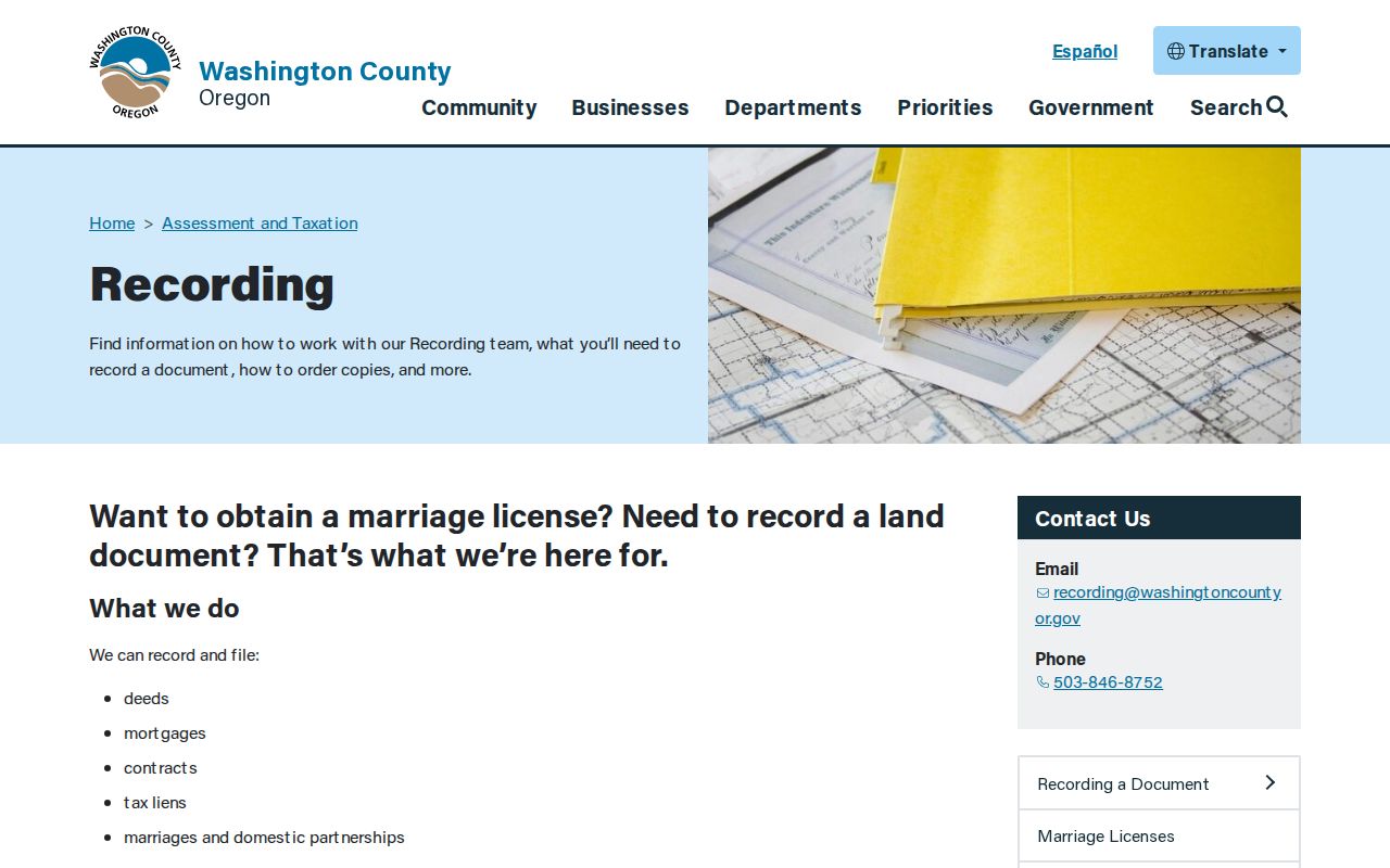
The office page confirms its recording functions and copy route. It does not state a universal public online grantor-grantee cutoff, so a historical trail needs the counter, e-mail, microfilm, and Archives alternatives.
Tualatin Previous Residents Index Routes
Washington County’s historical coverage is unusually specific. Deeds and indexes span 1847 to 1977. The State Archives lists a Direct Index to Deeds for 1850 to 1882, while the Recording office area has direct and indirect indexes for 1850 to 1977 on nine reels. Documented deed-book microfilm includes Books A through I from 1850 to about 1883 and later runs from about 1883 to 1964. Security microfilm of 1850 to 1964 deed books is held in contracted offsite storage.
This comparison matters because the live county page does not state an online historical cutoff. For an older link in a Tualatin previous residents trail, use the named in-person, copy, and archival routes instead of assuming that a web search is complete. The Oregon State Archives Washington County inventory identifies the older series and their periods.
The Oregon State Archives Washington County guide supplies the historical-records source shown below.
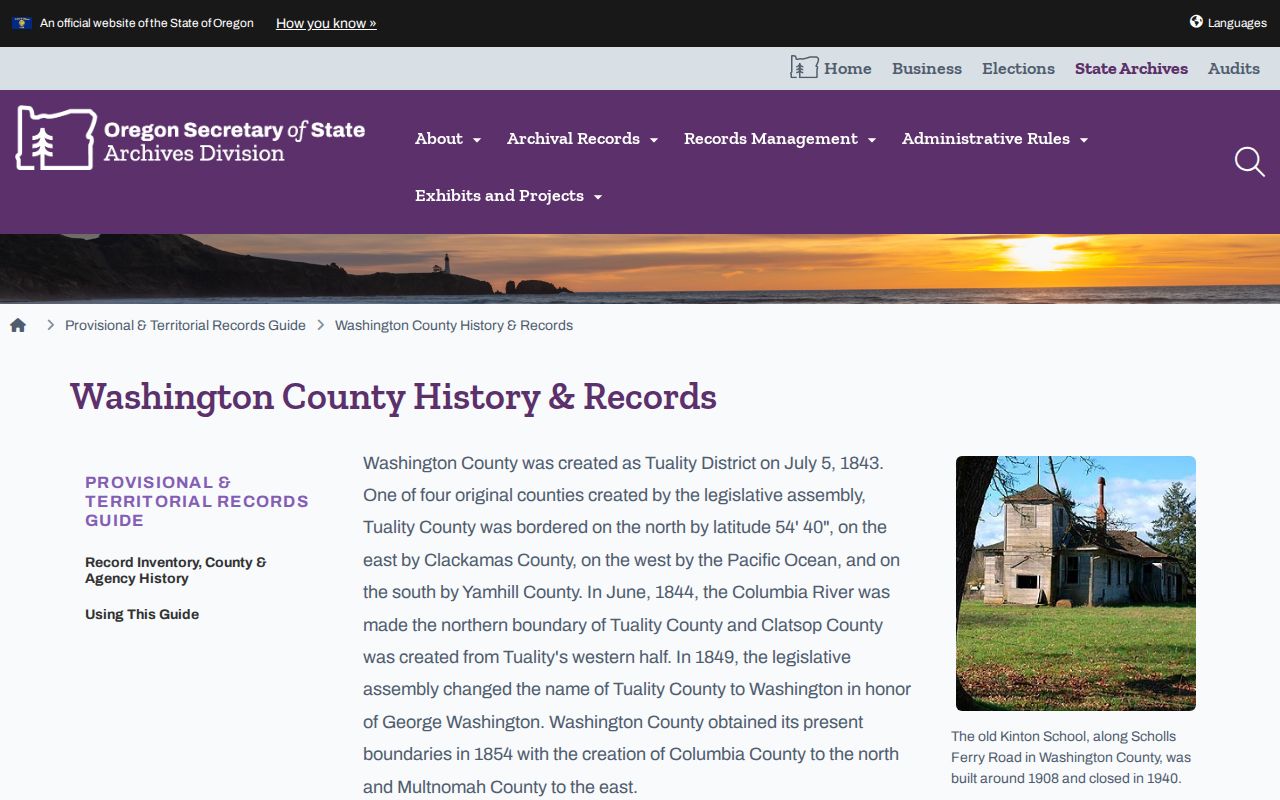
The archival guide can identify a county-era record series and access route. It does not prove that a specific deed or household record exists for the address being researched.
Tualatin Previous Residents Permit Dates
City records can date changes to a place. Tualatin eTRAKiT is described by the City as a 24-hour tool for permit and land-use applications, plans, inspections, project status, fees, permit-record research, and historical data. Preserve a permit number, project date, and relevant address information. If an older item is absent, the City Recorder request route is the documented fallback.
The City’s license application is another City-held form that includes a physical and mailing address, property-owner field, and opening-date field. It can help date a site-related record, but it is not a household register and does not prove that every person connected to the location lived there.
The City license-form page documents the address and property fields pictured here.
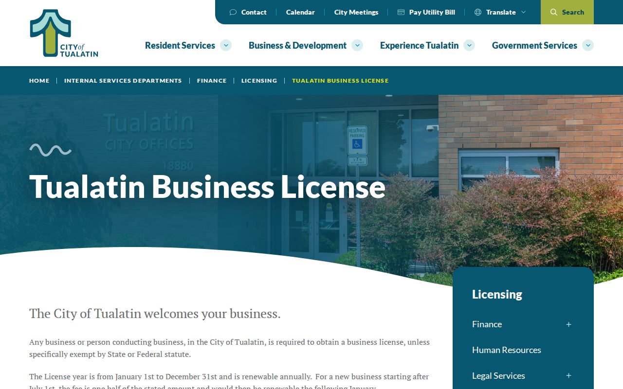
Use the form’s fields to make a precise records request about a site and date. Treat the resulting file as a property or project lead, not as evidence of residential occupancy.
Note: Permit and license records may identify parties in a project file, but a recorded name does not establish a complete household history.
Tualatin Previous Residents Name Changes
Past residents may be recorded under a community name rather than the current city name. The City’s history places the early settlement at Galbreath, then Bridgeport after the first bridge, and later the railroad-era Tualatin town around the depot. Historical Society material also uses the early spelling “Tualitin.” Search those variants in deeds, archives, newspapers, maps, and library requests when the date is older than the present municipal identity.
The more dependable continuity tool is the legal description and county record. City annexations, including Pacific Highway and Grahams Ferry Road items in 2013, Boones Ferry Road and Greenhill Lane in 2020, and a Norwood Road item in 2022, show how city status can change over time. The research found no official proof of a citywide street-renumbering year, so do not invent one to force an old address match.
Tualatin Previous Residents Household Trail
Recorded ownership is only part of the question of who lived here before. Pair a confirmed deed or property date with household sources. The federal census is publicly released through 1950 and can provide a snapshot of a household on its census date. Probate files may identify an executor, administrator, heirs, inventory, and residence clues when access permits. Washington County marriage and divorce series in archival sources can help distinguish families with similar names.
- Use the deed chain to establish the parcel and likely time periods for each owner.
- Compare the period with the 1940 or 1950 census where a public census applies.
- Ask Tualatin Library Reference to confirm any actual city, telephone, or reverse-directory holding before using it.
- Use permitted probate, marriage, death, or newspaper evidence to test relationships and final dates.
- Record the source, date, county, and unresolved conflicts for each household claim.
The Tualatin City Directory resource explains how to request and inspect a confirmed volume without claiming a local run that the research did not verify.
Lawful use. Historical-address research is for family history, estate questions, and personal property context. Do not use a name or address trail to stalk, harass, or harm a living person.
Tualatin Previous Residents Archives
Tualatin Historical Society and the Heritage Center are local-history contacts for oral histories, photographs, newsletters, and publications. The City says the Heritage Center at 8700 SW Sweek Drive is managed by the Society in partnership with the City. Bring the tax lot, legal description, current and older address variants, known deed or permit numbers, and a date range. Ask whether staff can identify a photo, oral history, newspaper, house-file, cemetery-book, or directory lead.
The Historical Society gateway is the source shown here for local collection research.
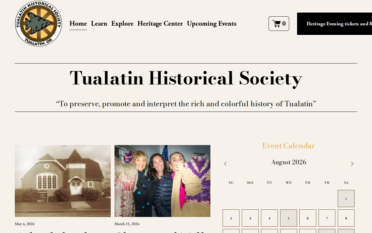
Society material gives community context and possible dates. It needs comparison with a parcel, deed, probate, census, or other dated custodian record before supporting a former-resident conclusion.
The Winona Cemetery Association book is one bounded example: Historical Society material describes handwritten entries from July 1, 1900 through February 22, 1988. It is a physical local-history lead, not an online interment directory. The County Historical Collection is also in a 2025 to 2026 custody, inventory, and cataloging transition, so its detailed research availability may change.